
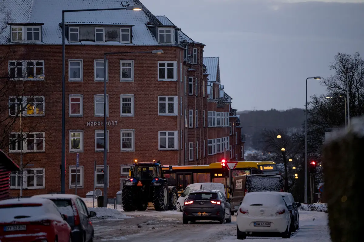
Northern and northeastern parts of Denmark could get up to 10-15 centimetres of snow on Monday night while as much as 50mm of rain could fall elsewhere, broadcaster DR reports.
A front will bring high volumes of precipitation on Monday and Tuesday , with the country again divided into areas receiving snow and rain, as it was during the blizzards and downpours in early January.
The first week of February is not forecast to see such severe conditions as a month ago. Nevertheless, national Met office DMI has sent a category 1 alert for heavy rain in southern parts of the country.
READ ALSO: What do Denmark's weather warnings actually mean?
The weather front could already be felt on Monday afternoon as heavy rain moved across Jutland from the southwest.
When temperatures fall on Monday night, this precipitation is expected to bne in the form od snow in northeastern parts of both Jutland and Zealand, and on Baltic Sea island Bornholm.
Southern Jutland could get the most rain at up to 50 millimetres, with 30-40mm falling on Funen.
READ ALSO: What climate science says about this year's cold, snowy winter in the Nordics
Tuesday morning will give milder temperatures in the north, meaning the ongoing precipitation is likely to be rain or sleet. The exception to this is North Jutland region Vendsyssel, which will still have snow.
This also means that most snow in northern Denmark will melt during the course of Tuesday.
The rainy front is forecast to ease its grip on Tuesday beginning in northwestern Jutland, but eastern parts of the country are expected to get soaked well into the evening.
Comments